


Le Garcin- Le Ponteil- Bons- La porte Romaine

crocau
User


Length
6.9 km

Max alt
1418 m

Uphill gradient
480 m
Km-Effort
13.3 km

Min alt
960 m

Downhill gradient
484 m
Boucle
Yes
Creation date :
2023-12-31 13:05:20.84
Updated on :
2023-12-31 15:51:31.428
2h45
Difficulty : Easy

FREE GPS app for hiking
 SityTrail
IGN / Geographical institutes
SityTrail Plus
The world is yours!
About
Trail Walking of 6.9 km to be discovered at Auvergne-Rhône-Alpes, Isère, Les Deux Alpes. This trail is proposed by crocau.
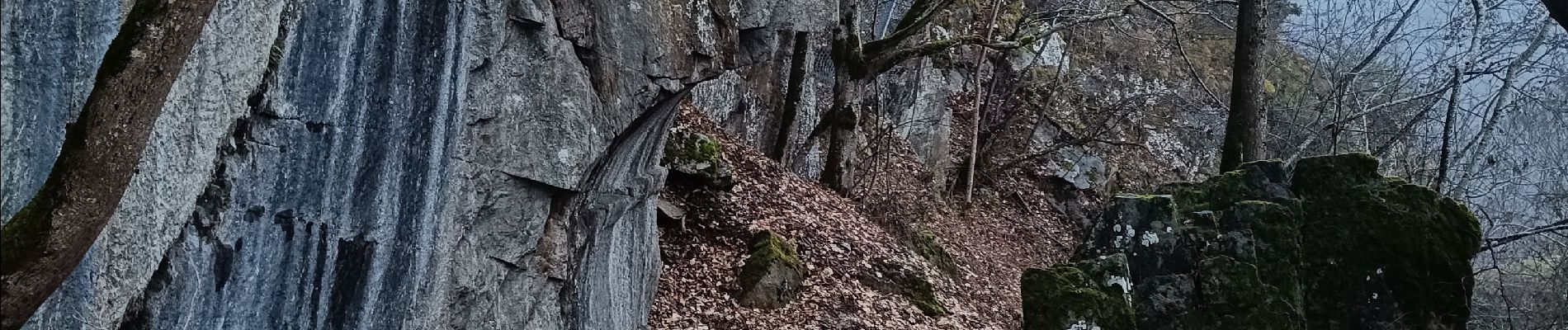
Photos


25 photos in total. Please click on a photo to see them all in the gallery.
Positioning
Country:
France
Region :
Auvergne-Rhône-Alpes
Department/Province :
Isère
Municipality :
Les Deux Alpes
Location:
Mont-de-Lans
Start:(Dec)
Start:(UTM)
271120 ; 4991104 (32T) N.
Comments